GpsPrune screenshots
Current Version(s)
The following screenshots show examples from the last few releases, showing the most common functions. You may also be interested in seeing the demo videos showing how to use the basics of the application.
- The basic screen, shown here under Debian Linux, with the menu and toolbar at the top, controls on the left, information on the right, the main map in the middle, and the altitude profile bottom-middle. The map images come from the Welsh OpenStreetMap tiles, hence it's "Caerdydd" and not Cardiff.
- GpsPrune 21 running on Macos "Catalina", using HikeBikeMap.
- GpsPrune in fullscreen mode (without sidebars), with the language set to Hungarian.
- GpsPrune on Windows 10 (JDK 11), with the language set to German. The view at the bottom is set to show speeds rather than altitudes.
- Prune on Ubuntu Linux, using the OpenJDK. The language is set to Swiss German and the maps of the Swiss ski resort are from openpistemap.org.
- GpsPrune on Microsoft Windows 7, showing a hike on Snowdon in Britain. The maps are again from opencyclemap.
- Controls for the automatic photo correlation. The time offset has been calculated using a manually connected photo. In this case one panorama photo cannot be automatically correlated.
- Controls in Czech for loading data directly from a GPS receiver using GPSBabel.
- The 3D window, showing an interactive model of the data including terrain and map.
- Output from Povray showing map imagery draped over the terrain.
- Output from Povray with data from a pair of paragliders.
- Part of Google Earth's screen showing exported track data, including correlated photo thumbnails.
- Chart function of altitude and speed against time using gnuplot.
- Online weather forecast from openweathermap.org.
- Comparison of low-res SRTM with new high-res SRTM data.
- 3d view using aerial imagery.
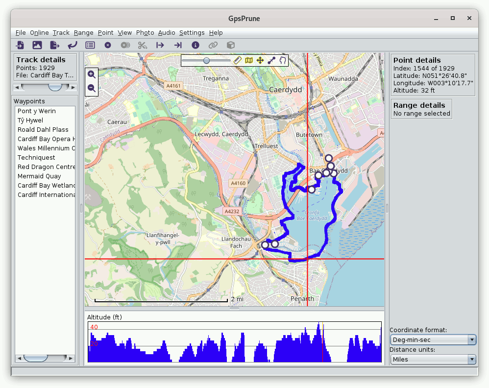
(1) Linux system showing a Welsh map of Cardiff
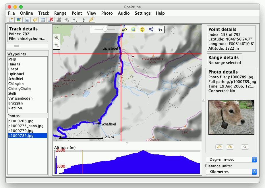
(2) MacOS with HikeBikeMap maps and a photo
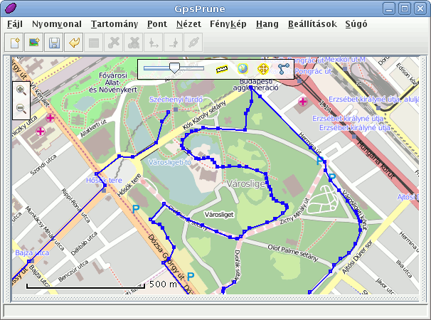
(3) GpsPrune in fullscreen mode using Hungarian
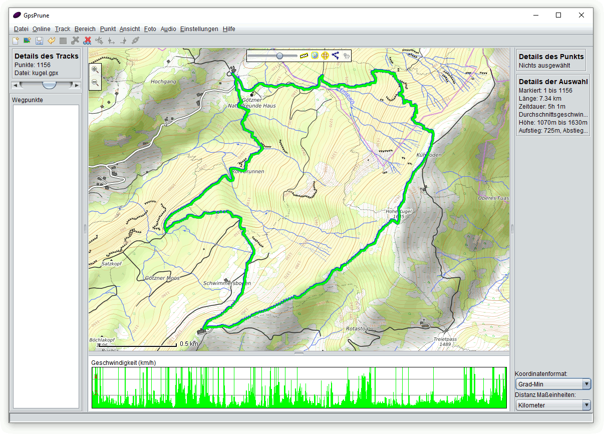
(4) GpsPrune 21 on Windows 10 in German, using OpenTopoMap
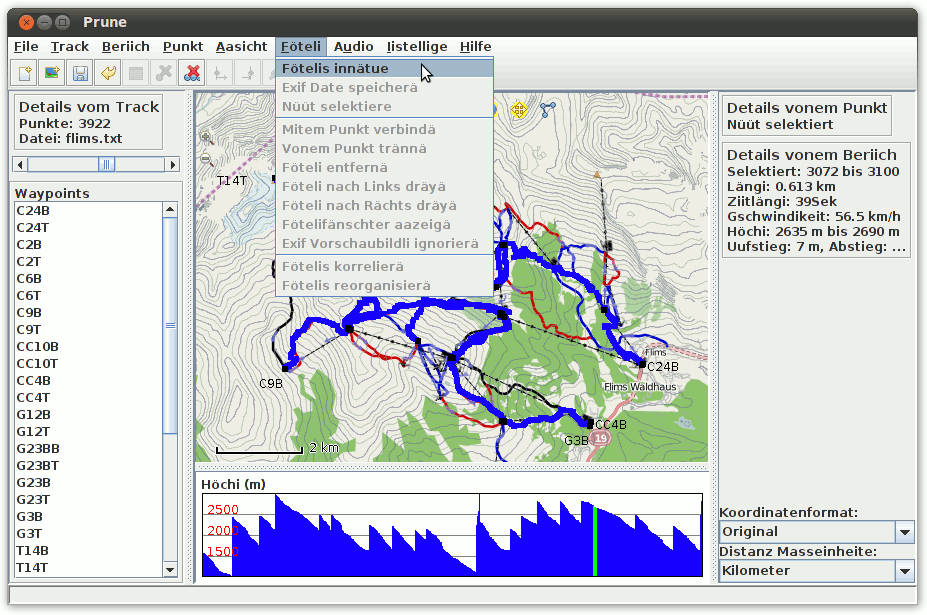
(5) Prune on Ubuntu Linux using OpenJDK and OpenPisteMap
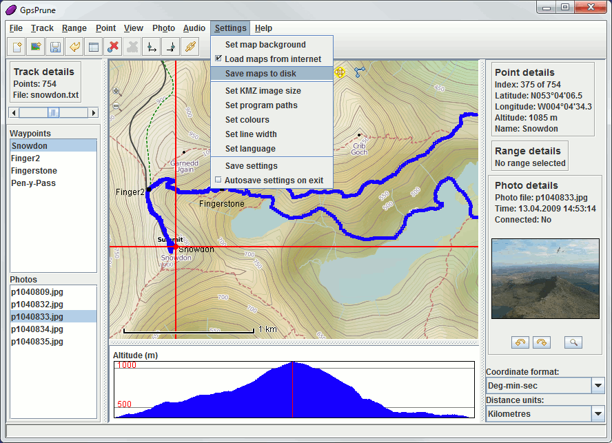
(6) GpsPrune on Microsoft Windows 7
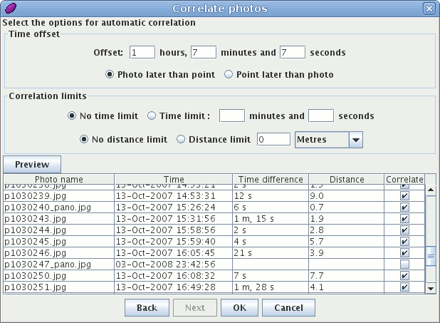
(7) Panel for automatic photo correlation
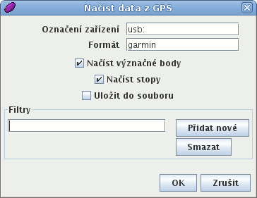
(8) Loading data from a GPS receiver
(Czech language)
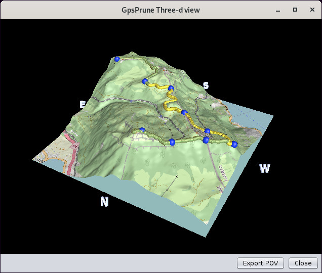
(9) 3d window

(10) Povray output including terrain

(11) Povray output for a pair of paragliders
coming in to land
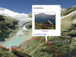
(12) Google Earth showing exported track
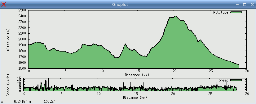
(13) Chart using gnuplot
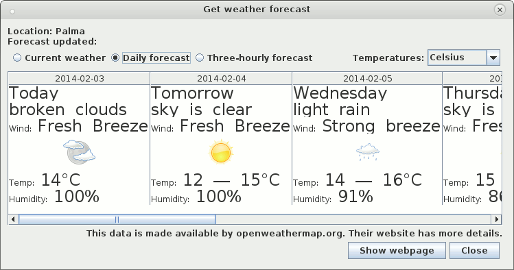
(14) Daily weather forecast
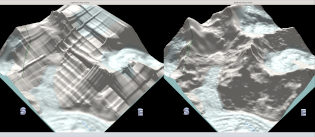
(15) Improvements to 3d
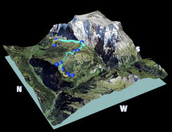
(16) 3d with aerial images
Previous versions
For screenshots of previous versions of Prune from 1 to 22, see the old screenshots page.

